The Neighborhoods
Here is a breakdown of the neighborhoods in the Taylor South Eastside Project.
The Southside (also called Oklahoma) boundary was Main St to the East, South Doak St to the West, Mustang Creek to the South, and W. Oak to the North.
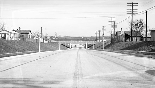
The Eastside boundary was 4th St to the north, the railroad tracks to the south, Burket Street to the West, and Gym St to the east. There was also a section on the Eastside that was called the Vidox. That was the section around the train bridge on 4th St and also went down Burkett to the creek.
Bakers Addition boundaries were Walnut (now M.L.K.) on the south, S. Dolan on the west, 2nd Avenue on the east, and train tracks on the north.
The Projects boundaries were Walnut (now M.L.K.) on the North, South Main on the west, East Mustang (or Mustang Creek)on the south, and Barker St. on the east.